How to Read a Tide Chart
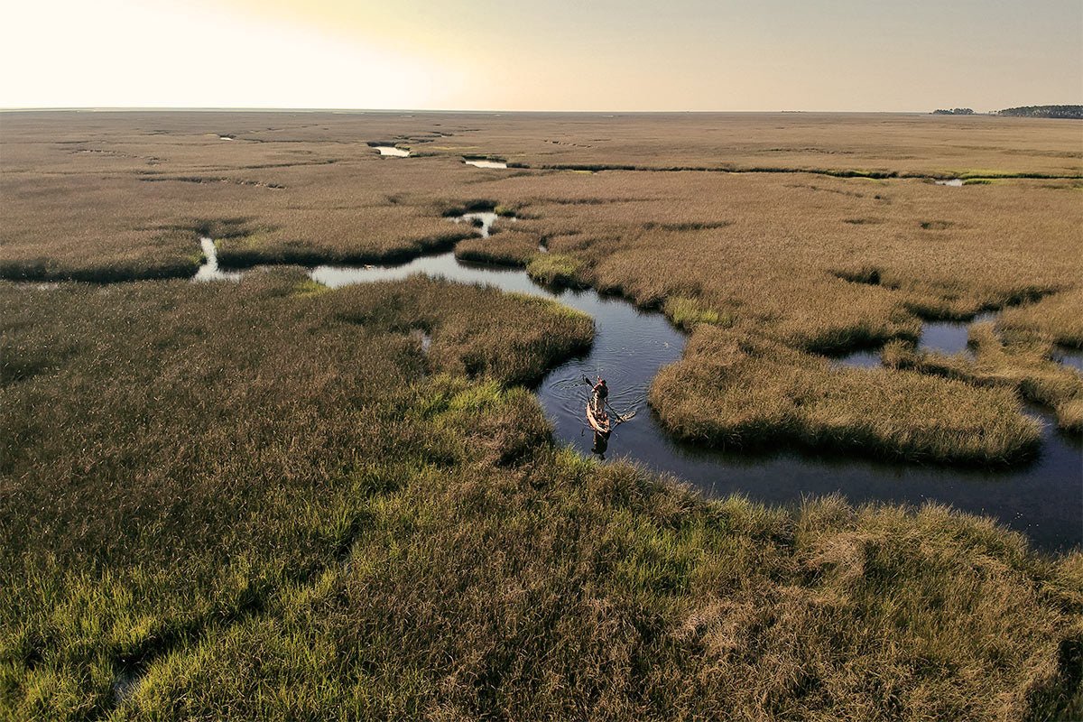
If you're a kayaker who plans to be out on the ocean with your Shearwater 125, Cubera 120 or Sea Ghost 130 – or simply just a paddling adventurer who loves to learn – knowing how to read a tide table for safe navigation is important. You don't want to be out salt water kayak fishing or paddling and not know when the tides will be going out or coming in.
Understanding tide heights, as well as when high or low tides will occur, can help you decide the best time to explore tidal pools, anchor your kayak, or put your fishing kayak in at your fave spot. Knowing how to read tide tables can also help you navigate your kayak from one place to another if at certain times of the day the water is too low to navigate due to the tides.
What Is a Tide Table?
A tide table shows the daily predictions for the local time of low and high tides, as well as the height of those surface water levels of bays, gulfs, inlets and oceans, and vary depending on the day and location. Tides are big periodic waves caused by gravitational attraction of the moon and sun. Most coastal areas experience two high tides and two low tides every day and they may not be equal. (In some places, such as the Gulf Coast, you may only get one high and one low tide per day.)
The tide table is often shared in a tabular format. (Note that tide tables are different from tide charts, which typically refer to a series of maps that show hourly water levels throughout a bay or estuary, and are only available in a limited number of locations in the U.S.)
The National Oceanic and Atmospheric Administration (NOAA)’s Center for Operational Oceanographic Products and Services makes tide predictions available for more than 3,000 locations around the U.S. The federal agency is the leading source of tide predictions, and its Tides and Currents website allows users to view and download tide information for up to two years, past and future.
How to Read a Tide Table
Step 1: Look Up Daily Tide Information for Your Location
There are different ways to get information about daily tides for your particular area or location.
Get free tide information from NOAA’s online tool, Tide Predictions – https://tidesandcurrents.noaa.gov/tide_predictions.html – which provides past and future tide information for 3,000 locations.
If you’re using this web-based tool, choose the closest tide station from a list available in your state, or use the map-based search function.
Once you find the station nearest to your location, click on it to pull up the relevant information.
You can also buy a tide table booklet for your specific area, as these are often available at bait shops, hardware stores, marinas or sporting goods stores.
Step 2: Look Up the Dates You’ll Be Out On Your Kayak
Once you find the location of interest, you’ll want to look up the tides for the dates you’ll be kayak fishing or paddling.
Viewing the information in graph form can give you a sense of the rise and fall of the water.
Step 3: Make a Note of the Times of High and Low Tides
Make a note of the times and heights of high tides and low tides, and the height difference in between.
Keep in mind that NOAA uses MLLW – or "Mean Lower Low Water" – which is the average height of the daily lowest tide observed over a 19-year period. Sometimes tide predictions are referenced to other levels, so it’s good practice to note which one you’re using.
How to Use Tide Table Information For Your Kayaking
The tide table will tell you the height and times of the low and high tides and when the tide is rising or falling, but you need to keep in mind how that rising and lowering of water will affect you in your kayak on the water.
For example, a high tide of 7 feet only tells you that the tide will be 7 feet above the reference level of the MLLW – it doesn’t tell you how far up the beach or the coastline that water will reach horizontally. So, when you have your kayak on the beach, you may be able to figure out the high tide water line by looking for features such as log jams, debris or “wet beach” on the coast, or check with a parks or coastal ranger before heading out.
Likewise, if you plan to round a headland on the coastline or traverse a "salt flat" on a certain day and time and your topographic map indicates you need a high tide to pass around it or through it, you’ll need to pay attention to the fact that your high tide options may be either early morning or late afternoon and plan accordingly.
A detailed topographical map will often note certain points on the coastline that may require high tide or low tide to pass or list tide levels necessary to round certain headlands.
Step 4: Weather, Wind Patterns And Topography Can Also Affect Tide Levels
Tide predictions are only astronomical predictions. The actual tides along a coastline can be influenced by other factors such as weather and wind patterns, an area’s topography or river runoff.
Tide predictions are very useful in locations where the water levels follow the tide, but there are some places where tide predictions won’t necessarily be representative of what you’re actually going to see on the water.
Even if the tide heights aren’t accurate, you can still learn a lot from a tide table, particularly the timing of the rise and fall of tides. Even though water levels may not match tide predictions, you still know that the oscillations (up and down) are cyclical.
If you’re going to be in an area for a while, you can also look at conditions during these tides and make a mental note of the changes during high and low tides. A tree’s roots or rocks may be visible at low tide but covered with water at a higher tide.
Knowing how to read and understand tide tables and tidal maps are key to really being safe and making best use of your time when out on the water in oceans and bays in particular.
Being safe and aware on the water is always the best way to be relaxed and ready.

 30 days money back guarantee
 1000+ Happy customers